
We use cookies to improve your experience with Monash. For an optimal experience, we recommend you enable all cookies; alternatively, you can customise which cookies you’re happy for us to use. You may withdraw your consent at any time. To learn more, view our Website Terms and Conditions and Data Protection and Privacy Procedure.
Special Report
Eyes in the wartime sky
Published on May 2, 2022As the world watches the satellite images of the Ukraine war, we examine the opportunities and threats of our dependence on satellite and remote-sensing imagery
 Sophisticated satellite imagery paints a new picture of war. : Michael Joiner, 360info
As the world watches the satellite images of the Ukraine war, we examine the opportunities and threats of our dependence on satellite and remote-sensing imagery
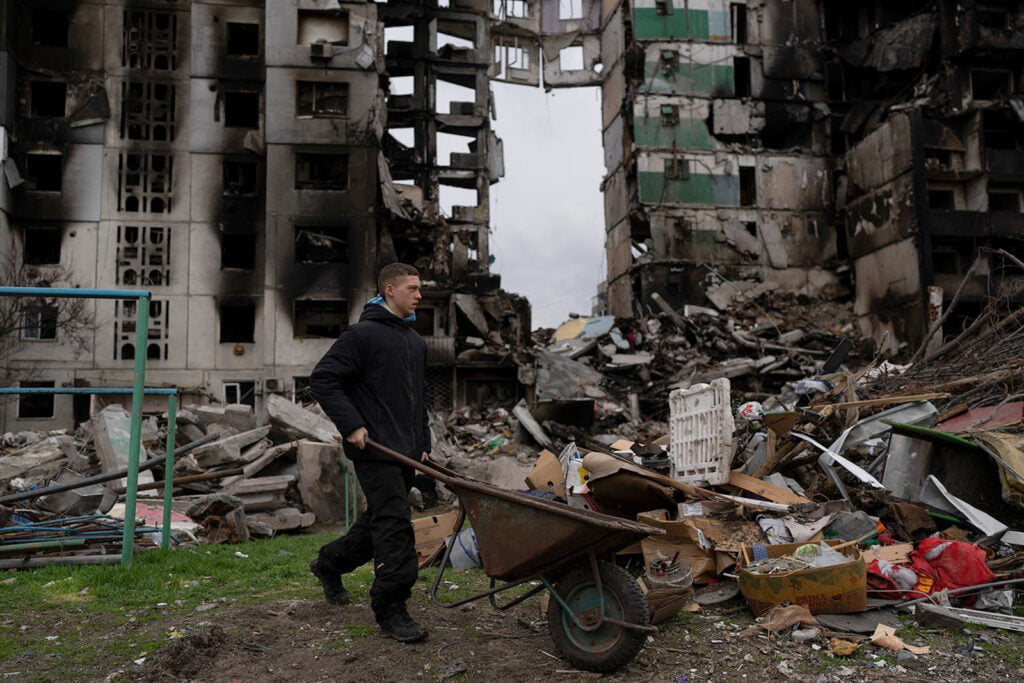
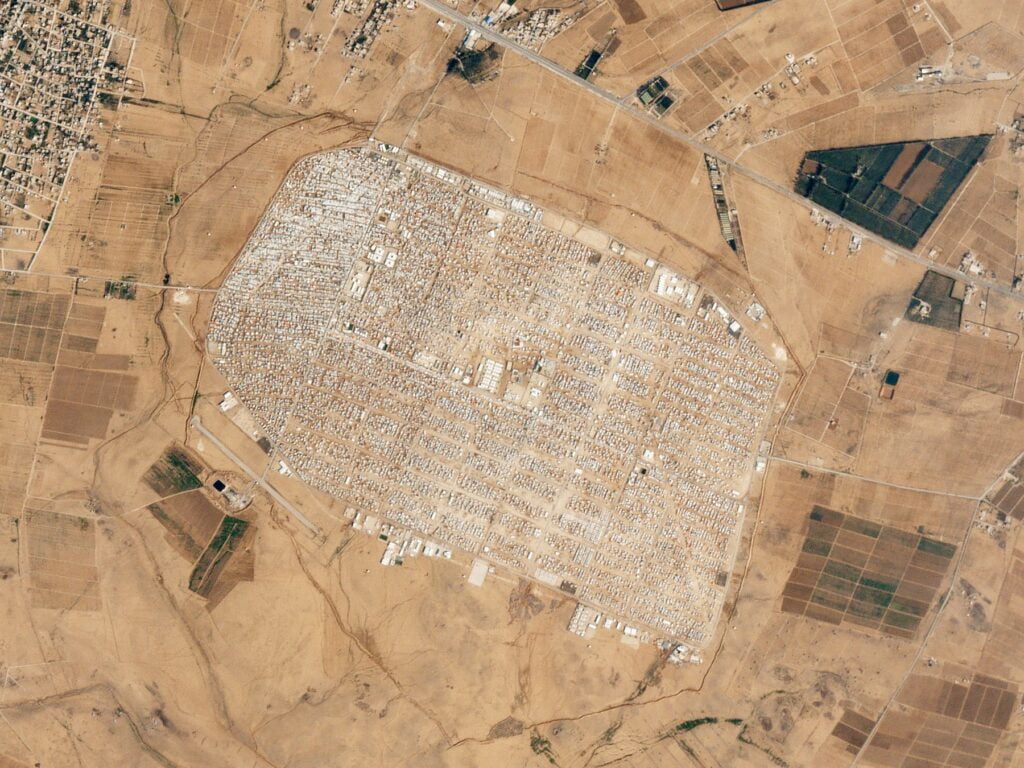
Like no other war before it, the conflict in Ukraine is being watched in real time. Satellite imagery of the military build-up, destruction and movement is available for anyone with an internet connection and some spare cash to follow along at home. A global CCTV, if you will.
News organisations are providing daily satellite image gallery updates from commercial image providers. These image companies are enjoying the free publicity, with share prices buoyant.
Since they were developed, satellites have been used in wartime. It offered a step up from the “bombadier’s eye view” of aerial photography.
The 2003 invasion of Iraq was underwritten by satellite photography. The United States government restricted broader access to satellite imagery in the months leading up to their release of “undeniable proof” of Iraqi president Saddam Hussein’s weapons of mass destruction.
“The assertion of control over the airspace above a territory [is] part of an effort to regulate and control what happens on the ground beneath it,” says Lisa Parks, Distinguished Professor in the Department of Film and Media Studies at the University of California and Santa Barbara.
As the old saying goes, ‘truth is the first casualty of war’. In this age of ‘deep-fakes’ and digital manipulation, how can we trust what we see? In satellite images, we encounter another source of wartime information, as fraught with doubt as the many that came before it.
REALITY CHECK
The first ever photograph taken from space was taken on 24 October 1946 by Americans operating a Nazi rocket.
The first artificial satellite was Sputnik, a Russian project that lifted off on 4 October 1957. It stayed in orbit for 3 months.
Remote sensing satellites make up approximately one third of all operational satellites.
The highest resolution commercial imagery available is one pixel for 15 square centimetres.
BIG IDEAS
Quote attributable to Dr Bo Zhao associate professor of geography at the University of Washington:
“Methods of distorting satellite images will only grow more sophisticated. Ways to keep pace with the fakery can be found, but there is no substitute for a vigilant, data-literate public.”
Quote attributable to Erik Gartzke professor of political science at the University of California, San Diego or Bryan Early associate professor of political science at the University at Albany’s Rockefeller College of Public Affairs and Policy.
“One of the unique benefits of space surveillance is the ability to disseminate information about a nation’s espionage efforts without compromising sources and methods. Unlike a human spy, a satellite can be seen to be spying and still continue to do so.”
Enjoy this article?
Sign up for our fortnightly newsletter
Are you a journalist?
Sign up for our wire service