Interactive: How governments, the military and business share satellites
Many satellites used for commercial or civil purposes are also used by governments and militaries.
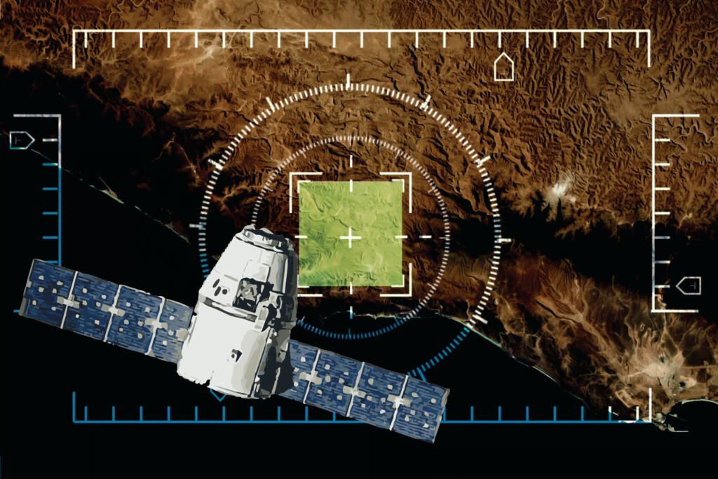
 Satellite data enables military and scientific projects as well as commercial applications such as smartphone directions : Brian Sawyer, Flickr
Many satellites used for commercial or civil purposes are also used by governments and militaries.
Originally published under Creative Commons by 360info™.
Enjoy this article?
Sign up for our fortnightly newsletter
Are you a journalist?
Sign up for our wire service