sdg3

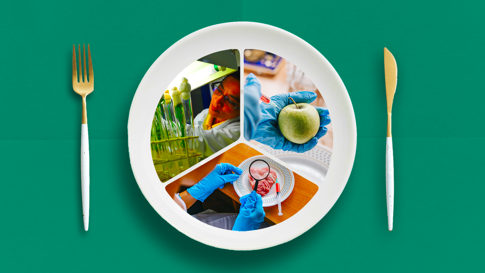
Making food safer and sustainable

Greater investments in science, technology and innovative practices can transform food systems, and ensure steady supplies, nutrition, and access

The 10 countries with the highest percentage of deaths linked to PM2.5 in 2019.

(more…)

360info has collated data from Northern Territory which shows how much of each suburb is marked as a Fire Protection Zone.

(more…)

360info has collated data from Western Australia which shows which suburbs are most prone to bushfire.

(more…)

360info has collated data from the Australian Capital Territory which shows which suburbs are most prone to bushfire.

(more…)

360info has collated data from Queensland which shows which suburbs are most prone to bushfire.

(more…)

360info has collated data from Tasmania which shows which suburbs are most prone to bushfire.

(more…)

360info has collated data from South Australia which shows how much of each suburb is marked as a Bushfire Protection Area.

(more…)

See how the fire season has changed in your part of Australia.

(more…)

360info has collated data from New South Wales which shows which suburbs are most prone to bushfire.

(more…)

360info has collated data from Victoria which shows which suburbs are most prone to bushfire.

(more…)

Both historical and scientific records show an increase in the number of fires since the mid-1800s.

(more…)