Maps / charts / interactives

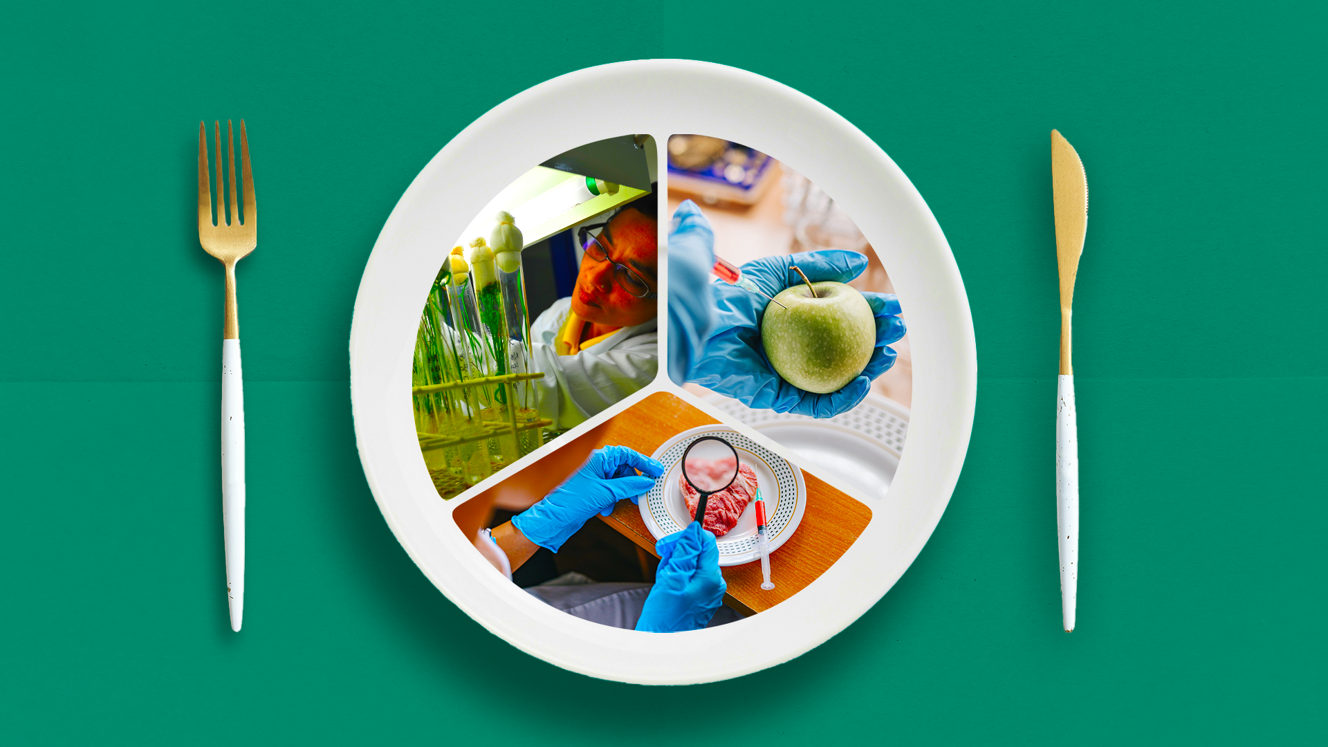
Making food safer and sustainable

Greater investments in science, technology and innovative practices can transform food systems, and ensure steady supplies, nutrition, and access

360info has collated data from the Australian Capital Territory which shows which suburbs are most prone to bushfire.

(more…)

360info has collated data from Queensland which shows which suburbs are most prone to bushfire.

(more…)

360info has collated data from Tasmania which shows which suburbs are most prone to bushfire.

(more…)

360info has collated data from South Australia which shows how much of each suburb is marked as a Bushfire Protection Area.

(more…)

See how the fire season has changed in your part of Australia.

(more…)

360info has collated data from New South Wales which shows which suburbs are most prone to bushfire.

(more…)

360info has collated data from Victoria which shows which suburbs are most prone to bushfire.

(more…)

Explore the growing supply of renewables and see which countries are leading the charge.

(more…)

See how fertility rates have changed in each Australian cities and regional areas over the last decade.

(more…)

UN data shows drastic changes in how many children women have had over the last 70 years and when they have had them.

(more…)

Over half a million Australians live more than 240km from an Assisted reproductive technology clinic and would likely have to sleep nearby in order to visit.

(more…)